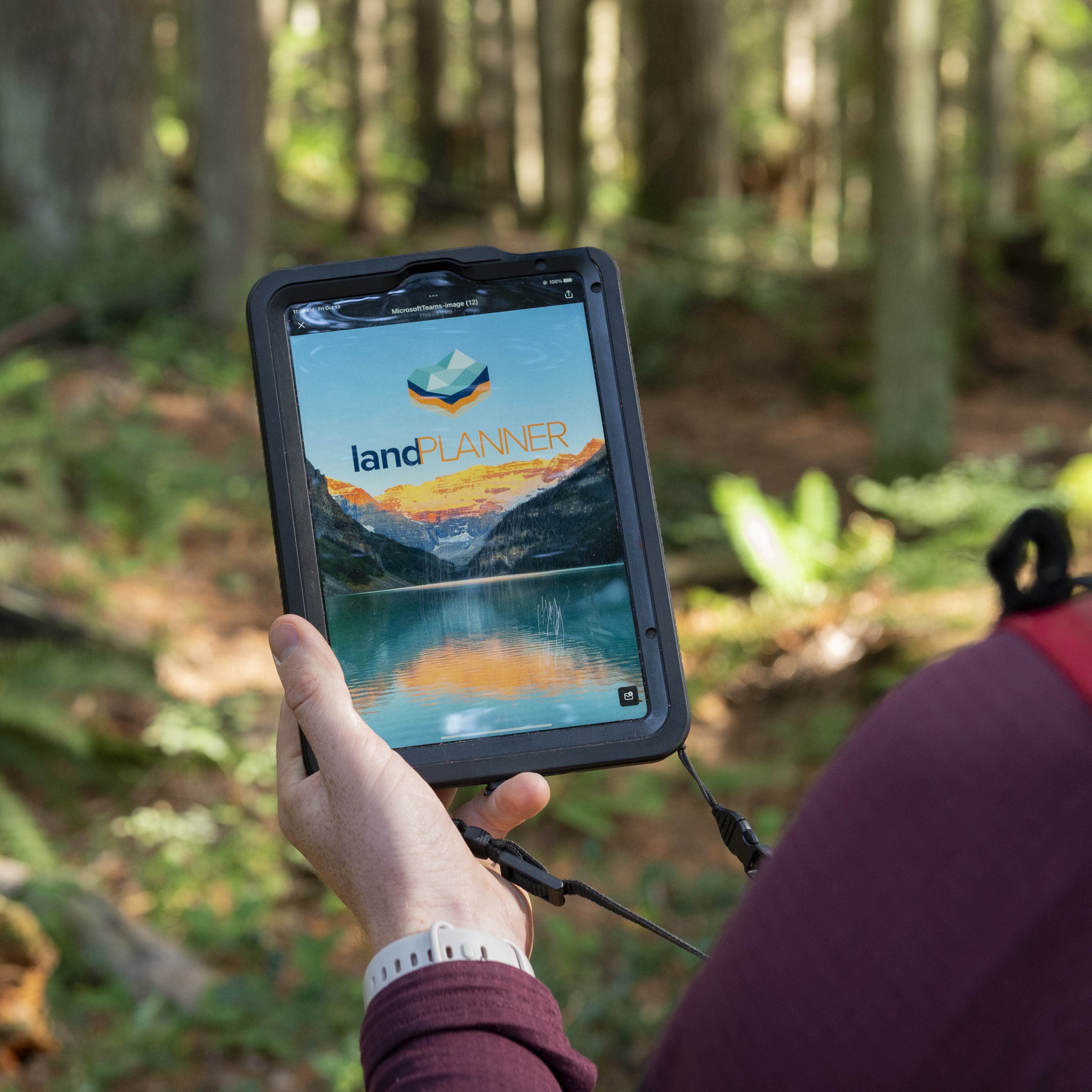
landPLANNER™ is a secure, web-based, on and off-line productivity-enhancement system geared for resource managers and their teams in the office and in the field. Any user with a PC, tablet or smartphone and can connect and interact with maps and information. With everyone sharing the same data, productivity is vastly improved.
landPLANNER™ was developed to give all of our staff access to LiDAR information that we were acquiring for our resource management operations. Adding other resource management datasets resulted in a flexible and responsive system that our team could use both in the field and in the office. Now, our field crews work in the field with all of the layers that they need and any edits, additions and deletions that they make are uploaded when they are back in range. Our Project Managers can see what work has been done each day. landPLANNER™ has improved Chartwell’s productivity so much that we’re making it available to our clients.”
![]()
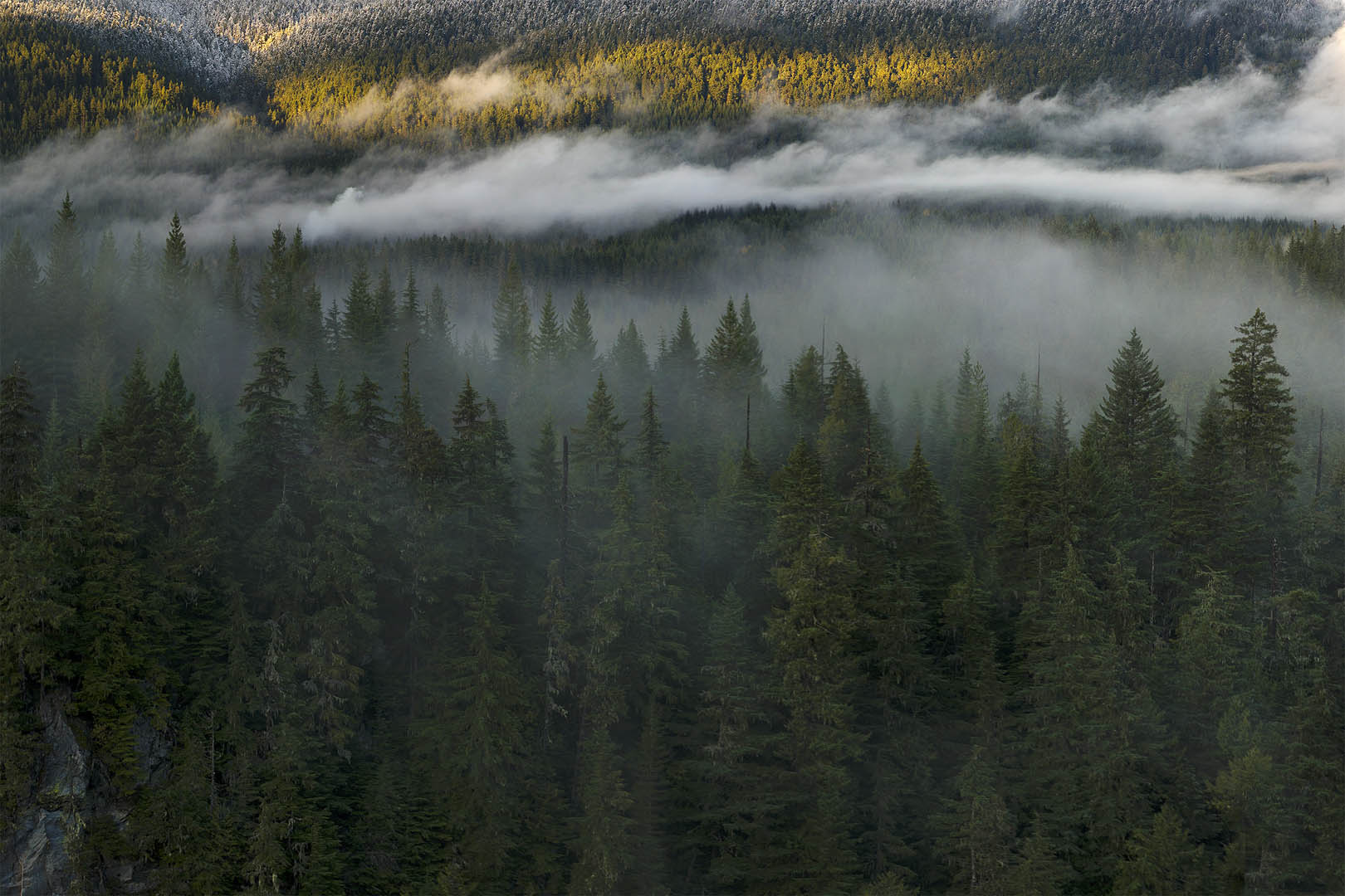
landPLANNER™ for FORESTRY, designed by foresters for foresters.
![]()
landPLANNER™ for Energy, built in collaboration with utility clients.
![]()
landPLANNER™ for Environmental, field tasks and data management made simple.
We developed landPLANNER™ to be versatile and scalable for any client in the natural resource and related sectors. With industry-focused versions and customizable functionality, you’re sure to find a landPLANNER™ that works for you.
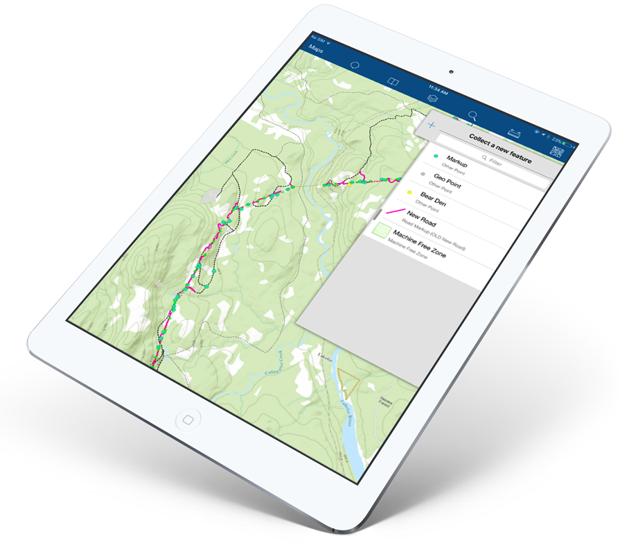
Collecting field data is quick and easy with customized forms that ensure your data is consistent and accurate.
Custom web maps, forms and workflows maximize the flow of and access to information between all team members.
Near real-time access to information across your company enables faster decision making and more confidence.
With efficient industry-specific workflows, landPLANNER™ takes your field work to the next level. Collaboration becomes easy and confusion is almost eliminated because everybody is looking at and working with the same information. Call us for a demo and experience the difference yourself.


@Chartwell 2021. All Rights Reserved. Site by: Armadillo.